Monday, 22nd April 2019

Aaaaand we're off the starting blocks for 2019's Counties To Be Bagged.....
It's been a glorious Easter Bank Holiday weekend - blue skies, mild temperatures - perfect, and I'd decided Monday was the day to part-bag a new County.
When I was working out walks to do, I was pleasantly surprised to find that this little hill in the North Pennines was only a 2 hours 30 minute drive so I decided to do it as a day walk rather than book a long weekend either camping or in a B&B.
SatNav let me down at Scotch Corner truck stop where I stopped for a leg stretch so I "winged it" from there. Knowing the walk was near(ish) Barnard Castle, I aimed for there and, sure enough, I spotted signs for Cotherstone and Hury. From there, it was a simple check of my paper map and I arrived, uneventfully, at my chosen parking spot.
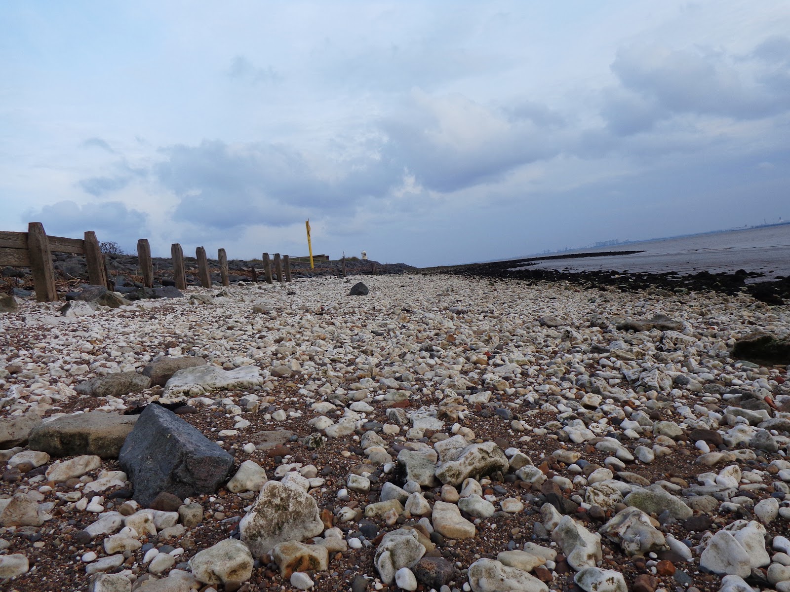
With hindsight I should have parked at the official Balderhead Reservoir car park and got the endlessly long road walk out of the way first but, instead, I parked at literally the end of the road in Baldersdale.
My chosen walk was taken from Country Walking magazine which has been an endless source of appropriate walks, helpfully listed by county. I chose this one because I doubted it would be a "honeypot" walk on a bank holiday Monday. I wasn't wrong. Barring passing a couple of people at the beginning of the walk, I saw nobody. Not a soul.... bliss.
I had a feeling I might need to utilise my navigation skills on the open moorland as the map provided in the magazine was printed at a different scale and zooming in on Bing maps didn't enlighten me as to whether there was actually a real path on the ground. Google aerial and satellite view weren't much help either. So, after I got parked up, I got ViewRanger set to track recording but before I "looked" at it I made a best guestimate at my start location:
At the end of a road, turning to a track with a gate crossing it there is a small "cut out" in the road, big enough to park about 5 cars:

I also followed written instructions from the walk route in the magazine and "ticked off" (also known as handrailing) features mentioned as I went along. These also tallied up with what was on my map so all was good.
At this next sign (as mentioned in my written route) was another obvious land-feature (handrail) - a large inlet - which my route crossed.
Down and up I went and, at the other side, the instructions said I should take track off to the left. This leaves the bridleway and hugs the shoreline on a farm track. Next, I was looking out for a sharp right hand bend (handrail) whilst continuing to hug the shoreline. After successfully ticking that one off my next target was a bridge crossing the River Balder (another confirmation spot check handrail).
Just before descending to the bridge:

As I descended, I spotted this lovely little bluey-purple flower with a yellow dot and stripes on its's "bottom" petal in the scrubby hillside. At first I thought it was a forget me not but after a quick google, no it's not. My search continues:

I was really getting into this walk now and, so far, my legs, tendon and breathing were all playing ball making the day an absolute pleasure. Add to this the lack of people or traffic noise, and it was the perfect antidote to my normal traffic fumes and dog walkers walks - with hills and ups and downs too!
View along Balderhead Reservoir after crossing the bridge and gaining a little height up the other side:

One final look back at the reservoir before I head onto the "moor proper":

Upon reaching a gate onto the moor my written instructions told me to leave the clear track I was on and go "off piste" left up the hillside to follow the fence. I didn't like the look of the gradient on that one so I followed the track a little further round before turning left for some tussock hopping back to the fenceline. This I followed for a short while until I crossed a wooden scaffolding plank-style bridge (this isn't marked on the map but was there as per my instructions). Once over the bridge I headed uphill following some green rubber matting which was to be my guide for much of the rest of this walk:

Before leaving the fenceline I took another location spot-check. The fenceline and reservoir behind me and I knew Shacklesborough hill was in front of me (despite not being able to see it at this point) and, to my right I could see a long, straight watercourse (although this was dry) and confirmed where I was on the map with these features. I decided to "walk on a bearing" (despite the matting making it glaringly obvious - or so I thought) and noted the matting followed the line of the (dry) watercourse. I decided to head "generally in that direction" along the matting. According to my map I would head gently uphill for a while before descending to Bleagill Hearne.
The matting heading on endlessly up the moor:

Eventually I reached Bleagill Hearne and the matting took me left along its flanks for a short while. I started to wonder if I would be able to cross it (no mention of it in my written instructions) but soon my concerns about where I should cross vanished. The matting guided me all the way to a rather brand-spanking-new looking gate and a wooden bridge - neither of which are marked on the map - then again, neither is the path/matting I was walking on!
Anyway, crossing Bleagill Hearne was another "handrail" ticked off, although I was no longer exactly sure whereabouts (on the map) I had crossed it. I guess I could have done a bit of pace counting when I turned to follow it's flanks for a while and translated that to my map. In fact, that would have been good nav practice. Darn it, I wish I'd thought of that at the time!
Once across that, it was another gentle plod up the moorland hillside with my objective clearly in view now:

I noticed the matting seemed to be heading to the right of the hill so I took another bearing just for the hell of it. I did do a bit of pace counting somewhere round here, purely because I was surrounded by quite featureless moorland - apart from grouse butts. They're 50 metres apart just in case you're wondering!
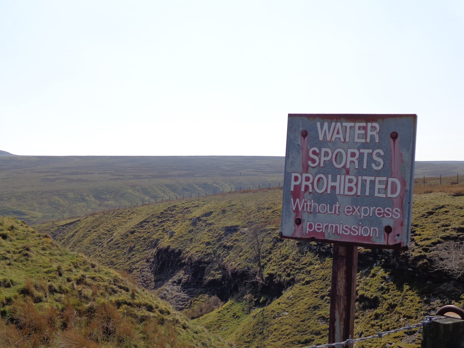
One thing I must point out here is that it's quite obvious that this hillside is normally very boggy (again, indicated as such on the map) but due to the unseasonable dry spell we're having, it really was a pleasure to walk along - now is the time to explore the North Pennines!!
I eventually reached the pimple of Shacklesborough Hill. The picture doesn't do the gradient up the side of it justice and I contoured round it's base a little to find my best route up through the boulder clitter. It was a short, stiff climb to the top where you then spot the cairn and trig point.


I tried (and failed) to use the 10 second timer on my camera to get a jubilant "I made it" pic....

I made it! My written walk instructions were pretty spot on really and navigation wasn't actually an issue but it is always good to practice. The Pennines are not known for their warm, sunny days and the distant fells were covered in a haze which I was ever-mindful could end up as mist if it reached me and picked up extra moisture from the reservoirs so making a point of being aware of where I was on my map was a good, sensible call (I think). Yes, I could have got ViewRanger out and checked that but then I would have paid less attention to my surroundings. I probably wouldn't have noticed the water courses, the boggy areas, the gradient of the hillside and whether I was walking up or along it and, crucially, I would never have learned that grouse butts are spaced 50 metres apart!! I probably wouldn't even have noticed them. Oh, speaking of grouse, I saw a black one - my first.
Brew with a (hazy) view:

Hazelnut latte seeing as you asked.
I sat and munched on my sausage roll and enjoyed my brew. I even took my shoes and socks off and did a bit of yoga, sorry stretching exercises, to ease my thigh and calf muscles a little. I probably spent about half an hour up here, enjoying the views, the wind blowing through the grass and making strange vrrrrrr-ing noises around the rocks. I listened to the skylarks singing their beaks off high in the sky. I listened to the kak-kakking of the grouse. I was rather bemused at the flock of pure white doves flying around the hillside. It was rather lovely to see, albeit a bit random! I marvelled at the relative silence in comparison to my hectic, noisy workplace. The lack of man-made noise was wonderful. The clean, fresh air was wonderful. Feeling the sun on my face was wonderful. Seeing real daylight was wonderful (our windows at work are tinted, in case you was wondering about that one!).
Only now did I decide to get ViewRanger out to make sure it had actually recorded my track. It had, and I was exactly where I thought I was (on top of Shacklesborough hill)!
I reluctantly decided I'd best carry on with my walk and checked my written instructions... head due east off the hill and aim for a hut. The hut is on the map and was visible from the hilltop so I got my bearing and found the easiest route down, once again, picking my way through the rocks whilst being mindful of the direction I needed to ultimately be heading in. Of course, I could have gone off the hill the way I came and continued to follow that matting but I never. This was much more fun.
The hut I was aiming for:

The hut wasn't locked which meant it was fair game for a poke around in. Doing so solved my puzzlement over the white doves. They were living in here and had babies!:

My instructions told me to follow the matting which would turn into a track and turn left at a junction. Just for fun now, I pointed my compass at Goldsborough (a prominent hill in the near distance) seeing as I was walking "generally in that direction".
Goldsborough Hill:

I forgot to mention, whilst I was doing my self-timer thingy, my camera fell off it's perch and landed in some sheep poo, hence the black spots on the pictures now (sorry about that).
As I contoured around the hillside I knew I needed to be heading back towards the reservoirs again and this left turn junction on the track confirmed what I thought. Even without the instructions, I would have taken this turn. If I was feeling braver, I could have walked on a bearing and followed one of the many sheep-trods across the moorland but I was starting to feel a bit fatigued now and my tendon was twinging a bit.
An increasingly hazy view of the reservoirs:

I really liked this drystone wall - perfectly set down and up this quite steep gully! (Yes, I'm strange, I know):

By now, my tendon was really painful and had a horrible swollen lump on it which wouldn't massage away so it was with huge regret that I decided to simply walk across the reservoir dam wall to the road rather than follow a bit of the Pennine Way.
Overflow basin at Balderhead Reservoir:

Not the best place to park your newborn lamb:


Blackton and Hury Reservoirs:

I'm really quite impressed with this close-up of a bunny-wabbit:

Proper wobbly legged newborns. The one laid on the ground is looking as if to say "what the hell just happened there?"

And it was from here that I had the endless trudge along the road back to the car. No need to practice navigation skills here but I did anyway. Ticking off buildings, walls, etc. as I limped past them.
One final view though of my modest little hill:

I got back to my car and dug out my "apres-walk flask" from the boot of my car and had another cuppa and bit of bun sat on my camping chair, in the early evening sunshine, staring at "my" hill and marvelling that a couple of hours earlier, I'd been up the top of it. In't walking brilliant!
What a smashing day. Thoroughly enjoyed it. At the time of writing, my legs ache pleasantly and my tendon has eased up and the swelling has gone down.
I still have a few more miles to do before I can officially claim I've "bagged" County Durham and I'd like to do something a little further east next time, but it won't be the last time I visit this area, particularly if the weather stays fine and dry (I don't really fancy bog-snorkelling).
..... I will be back...
Some stats:
Travel Time: 2hrs 30mins
Parking: Small parking spaces at Balder Head (free)
Distance: 6.8 miles
Maximum Altitude: 1,453 ft
ViewRanger Track
ViewRanger Track
Thanks for looking 😊