Search This Blog

Pages

Showing posts with label East Yorkshire. Show all posts

East Yorkshire - South Cave, St Austin's Stone (6 miles)

Thursday, 27th May 2021

The calf is feeling normal again so I set off on the only sunny afternoon of the week to do my favourite hilly circuit of Drewton Wold and I was looking forward to seeing how I got on after such a long lay-off.

I got parked up at Beverley Clump - a small parking area with space for about 6 cars and headed down Swinescaif Track:

Swinescaif Track

Looking down Comber Dale

I decided to follow the "high" route along the right hand side fence line for a change:
..and again from the hillside

Looking down on the livestock gate where I was headed:
The "cheesecake wedge" livestock gate

The path heads steadily back uphill again through scrubby woodland and curves around the valley before joining what I think was once a driveway/carriageway to the estate farmhouse, marked by two wonderful old, gnarly trees.  The one on the right looks like it's been struck by lightning at some point:
Wonderful old, gnarly trees

Instead though, I curve around to the left on the narrower track which heads steeply uphill at the headwall of the valley:
Just before the steep climb

The birdsong along here was absolutely magnificent and I think it was a Song Thrush which was stealing the show.  Struggling to upload the vid/recording I took though.  Wonderful to listen to.

Eventually I popped out onto the open hillside - the breeze and sunshine both welcomed!:
One of several comms masts dotted around these higher points

The last time I walked here, this area had been fenced off to prevent people from avoiding the horribly busy road by cutting across the field.  Thankfully, somebody has decided to reinstate the unofficial (and much safer) field edge path:
Whoever did this? - Thank you!

View from the trig that I shouldn't be walking past:
Chalky/flinty field view from the trig

Just round the corner is a bench where I was planning on sitting and having my cuppa and snacks.  Except my legs weren't ready for a rest yet.  So I decided to extend my walk around the top of the woodland, rather than walk through it.  This did mean a short stretch on that horrible road after all, but it is only a short stretch and there is a narrow verge-side path.

Before long, I was back on the fields again and heading downhill towards the woodland:
Lovely countryside walking

It was at this point I wondered... St. Austin's Stone is in there somewhere... I wonder if I can find it.  The other access to this woodland is near the bench I decided not to sit on, and you definitely can't access it from that side!  I started looking for a way into the woodland (which is fenced off).  Sure enough, hidden in the corner of the field is a trodden down grass path "clue" that other people have had the same idea.  

I reached a barbed wire fence which had clearly been tampered with to allow those with a longer inside leg length than me to step over it.  Nevertheless, I decided to give it a go.... ripppp.  Caught my trousers on the barbs!  Oh dear!

Over the fence now and the path continues more clearly steeply down hill through a wonderful ancient patch of woodland.  Eyes peeled for .. I wasn't sure what, I rounded a corner and....
St. Austin's Stone

... a strangely out of place lump of rock, slowly being gobbled up by nature.

My initial thought, as I stood and looked at it, was that it was part of a river once.  The picture isn't very clear but there is a rocky floor (now covered in mosses and lichens) and the "rockface" has that carved out appearance that only water can do.

I got closer and had a bit of a poke around.  You can't get up onto the top of it now due to the brambles but closer inspection of the rock itself showed a somewhat "pebble-dashed" appearance which at first got me wondering if it was man-made.  Looking even closer though, it was clear that this was a natural thing - conglomerate rock - which was allowing water to seep through it and out through the swiss-cheese holes in it.  It felt like pumice stone.  Away from the smoothed out part there are big chunks of flint stuck in it, although flint and chalk are literally the "bedrock" of this area:

Lumps of flint stuck in the rock

Further pokings around and I discovered this cleft in the rock. Either two rocks close together or one rock which has been dissolved in half by water.  A mini Lud's Church, and it would give Fat Man's Agony a run for its money!  I never attempted it:
Cleft in the rock

Towards the back/uphill the rock seems to bury itself in the earth:
Other side of the rock

I still had the overwhelming feeling this was once a river system.  Further reading at home claims this is an erratic boulder.  Kind of ties in with the "watery" theme of my musings.  The Wolds are glaciated valleys after all and my thought is this rock was dumped here by ice, then over geological time the ice turned to river and the water continued to make it's mark, smoothing out parts of the rock as it flowed downhill.

I love the folklore too.  It's claimed that the stone breaks every seven years then grows back!  And that the area (Drewton Wold) got it's name from it's pre-Christian pagan/druid activity (Druid Town - Drewton).  God, I love this sort of stuff 😊


Anyway, after a short break for a sacrificial eating of crisps to appease the Trouser-Ripping Gods, I headed on my way, retracing my steps back up (and over that barbed wire again) to the sunny hillside.

I followed it as it curved around the hillside, occasionally getting far-reaching views through the trees:
Wonderful "surprise views"

Although not in the above pic, I could see my car from hereabouts - reassuringly miles away.

Eventually the path starts to drop back down into the valley and I did my bit to pollinate the crops as I headed through this:
Yellow speckled clothing anyone?

Still flanking the woodlands, I was stopped in my tracks by the wonderful delicate yet heady smell of this unassuming hawthorn blossom:
Unassuming hawthorn - wonderfully scented

Eventually I reached a metalled access road and headed downhill steeply.  The grass verges were full of wildflowers:
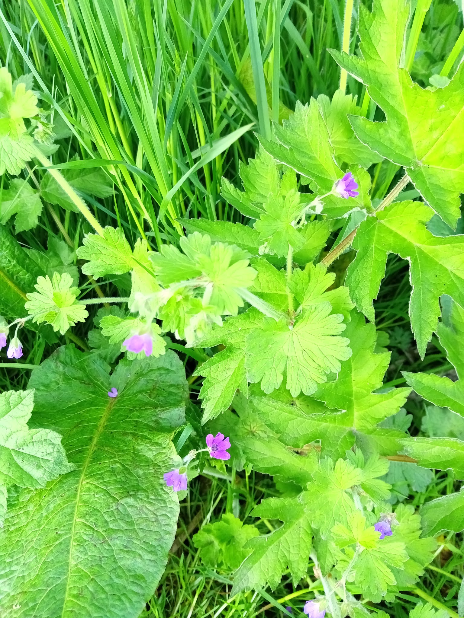
Speedwell?

Not sure what this is either

At it's lowest point, the road crosses a small weir which isn't on the map:
Weir

Nettles in bloom

Another one to find out the name of

Me and my ever increasing Shadow Monster continued on the track over the old railway:
Shadow Monster!

More wildflowers

Snoozing snail

Cowslips

After heading down deep into the valley, it was time to head back up onto the hillside again.  As I approached the other stock gate the hillside opposite (which I had initially walked down) was bathed in sunshine and I decided, THAT, was where I was having my cuppa and snack:
Brew With A View

It was wonderful to just sit there, in the sunshine, listening to the birdsong, feeling the warmth of the sun on my face and just taking it all in... breathe in, breathe out .... aaaand relax.  Perfect 😊

All that remained was the final stretch back up Swinescaif Track to the car.

And a little patch of bloobies too

What a wonderful, wonderful walk.

Thanks for reading 😊


East Yorkshire: Ellerby Bluebells extended circuit (7.75 miles)

 Sunday, 4th April 2021

Seeing as it was such a lovely day I decided to join two walks together to make a longer route.

It's Bloobie Season so I set off to Ellerby where there are massive swathes of them in the woodland(s).

I got parked up at my secret parking spot and set off:

Wahoooooo! It's not a railway track!

There are some very modest gentle inclines as the countryside rolls underfoot.  I was pleased to realise that I never noticed them.  Even "the hill" for which I'd purposely chosen to do this route anti-clockwise so I'd go up it rather than down it seemed to have been flattened.

"The Hill"
I'm sure it used to be steeper than this!

To see the Blackthorn in full blossom was lovely and I kept spotting lots of spring flowers on the field edges and in the little pockets of woodland I passed by:


I'd had sneek-peeks of small patches of bloobies here and there so I was hopeful as to what I'd find in the woodland "proper".  By the time I reached it....

BLOOOOOOBIES.......


Ohhh, how lovely to see.  I think I may be juuuuust a little too early as the scent wasn't there, but still, to see them, oh it gladdens the eyeballs. 

My original plan was to sit in the woodland and have my snack and cuppa and just listen to the birdsong.  But, my legs didn't feel "done" yet and I wasn't ready for a rest.  I did just sit a while and listen to the birdsong as they forgot I was there and returned to normal.  It was lovely.

Heading away from the woodland had me following field edges until I reached the "massive field" where the path runs straight across it.  It had been rough-ploughed and the RoW hasn't yet been reinstated so I followed the wide field edge trod around it.  Clearly used by horses, boots and paws.  A much nicer route so I'm sacking off the field crossing in favour of this route in future.

Blackthorn blossom

The path eventually pops you out opposite the Blue Bell Inn and it was decision time.  Do I turn left and return to my car or do I turn right and do another 4 miles?  I had a jiggle of my legs to see how they were feeling....and turned right.  

Past the cute little Church and on through the other side of the village.

Daffies on the verge-side

I remembered there was a bench further along a field path and I planned to sit there and have my snack and cuppa.  It was occupied by an absolutely stunning display of funeral flowers.  I guess the chap liked to sit on the bench and admire the views.

I continued on and reached the rail track.  Which goes on, and on, and on, crossing a small road before continuing on, and on, and on.  I did eventually find a bench and spotted a sneaky path through a hedge which begged for a little exploration.  Glad I did as I found a woodland with some chopped up tree trunks which literally said "have your cuppa here" to me.  So I did.

Then returned to the endless rail track.  Crossed the main A165 and plodded on, this bit being even more boring as it's been tarmacked.  I decided if I do this extended route again, I would park in the village and get this bit out of the way first.  Ye gods, it's boring.

Eventually I turned off it and headed up The Mudbath From Hell - as I'd decided to call it the last time I walked here in sideways sleet and flooded fields.  Today though, it was dusty, sun-baked clay.  The fly tipping is still there which helped me walk a bit faster so I couldn't see it anymore.

All that was left was to re-cross the main road and plod up Crab Tree Lane and back to my car.  My hip and tendon was giving me a bit of gyp.  I think because of the endless flat, hard, compacted, repetitive nature of the latter part of my walk and also possibly because this was the first time I'd put my proper rucksack on since last year!  It was probably a bit overkill for my pot of fruit, rice crispy bar and flask, but I need to get used to wearing it again and I'd weighted it with a couple of litres of water too.  We'll see how I feel tomorrow.

To brighten up the monotony of the road I spotted loads of primroses in the verge:

Primroses - lovely splash of colour on the verge

All said and done though, it was a gorgeous day, and the first part of the walk was a delight.  It was lovely just to be out in the fresh air - I even enjoyed the muck-spreading smells!  But, like I say, if I do this extended walk again, I'll start in the village and get the boring railtrack and road out of the way first.

I need to tweak some settings on ViewRanger on my new phone as it kept going to sleep and stopped tracking my walk every time the screen switched off.  Annoying.  I suspect my mileage was nearer 8.5 miles.

Thanks for reading 😊

East Yorkshire: Hedon to Kelsey Gardens (7.9 miles)

 Sunday, 28th February 2021

Final walk of the month.  It's a beautiful day.  So I decided to do my Kelsey Gardens walk. 

I knew it would be about 8 miles in total and that I would be out for 3 or 4 hours so I took a snack and a drink - after all, you wouldn't exercise in a gym for 3 to 4 hours without a break and this is no different in my mind.

My original plan was to plodge up the rail track to Kelsey Gardens, stop and have a break then plodge back along Burstwick Drain.  Buuut, with it being such a glorious day, the world and his wife was also plodging up the rail track, cyclists, families, dog walkers, joggers.  It really was very busy and I was lucky to get this shot of the track with nobody on it:

Hull to Winestead rail track

After a while though, it became tiresome doing the apologetic skirting round the edge of the path whilst whoever you was passing did the same in the opposite direction whilst saying cheery hellos, thank yous and commenting on the madness that is the new normal of late.  

Last time I walked up this way I spotted a tractor tyre track leading off the RoW and made a mental note to explore it when it wasn't flooded.  As I walked past it today, I decided now was that time:
A little trespass

This turned out to be an excellent choice.  Not only because I managed to avoid at least 20 people on the main rail track whilst I walked in blissful solitude but because I was very sheltered from the breeze which, despite the warmth of the sun, was a bit nippy.  There was also lots of birds flitting in and out of the bushes and scrubland and I heard my first skylark of the year.

Eventually I reached a set of sturdy gates.  Locked.  Oh no!  Luckily, the patch of scrubland to my left was familiar from my last walk here and I soon realised I could blaze a trail across it to get onto Pinfold Lane in Burstwick:
Scrubland leading to Pinfold Lane
(still getting used to my new phone/camera
- apologies for the finger!)

A short walk through the village in the sunshine had me thinking, if I was in an unfamiliar area, this would be one of those sleepy hollows - cute but you just pass through as you head to to hills.  

I eventually got onto Newbridge Road which peters out into a single track lane at the bottom, but I turn off before then:
Single track lane 
on Newbridge Road

I turned off the lane and onto the drain bank:
On East Carr Drain bank

Considering all the rain/snow we've had recently, I'm surprised the water level is so low.

A right turn, and up the gentle slope of Kelsey Hill.  Long views towards Keyingham from the top:
Looking towards Keyingham
from Kelsey Hill

Dropping down off the hill and I avoided "Brian's Walk" - the pedestrian route to Kelsey Gardens as there was a group of yoofs coming down it and it's only about 5ft wide (plus, it was really muddy).  Instead, I followed the rough road to the small car park which most folks use if they're coming here to kayak or wild swim (or just walk their dogs the 200 metres to the butty van).

The butty van was open!  Sod the snack and drink I'd brought with me.  I was having me a bacon sarnie and coffee!  I accidentally paid for a slice of lemon drizzle cake too (shame that).  The seating area outside the butty van is cordoned off at the moment and there was a one way system in place for ordering your food.  I thought it only right that I tested out the procedure and took my feast to a conveniently placed log on the edge of the woodland near the van.  What a lovely view:
South Lake
at Kelsey Gardens

After my feast I headed off down the rail track - this is the part of the track I usually walk when I'm doing this circuit and normally my car is parked at the end of it.  Not today though.  It was still incredibly rutted and muddy and I did ponder for too long on the lone pebble in the middle of this semi-permanent pond on the track - was it supposed to be a stepping stone?  Not a very useful stepping stone if so!:
Random stone in the mud

As I navigated my way round the rutted muddiness I heard hooves behind me.  I also heard them slow right down to allow me to navigate my way round the ruts, rather than them just splishing through and no doubt coating me in a layer of said mud!  We had a bit of a natter (yep you guessed it... how being on the back of an 'oss is an excellent way to maintain social distancing!).  They tarried on their way:
Two riders on the old rail track

I reached the road where my car is usually parked, but this time, I crossed the road for, oh, more railtrack.  To be fair, I've not walked this particular bit for years, and years and years:
Rail track between Camerton and Burstwick

I did have to chuckle as I neared the end where the old station has been turned into little cottages:
Amusing sign

Across the next road and all that remained was the 2 mile plodge down.... wait for it.... yep, you guessed it.....the rail track!  Once again, this bit of it was chokka full of people so I decided to explore the field edges instead:
Rail track avoidance hay meadow 

...AAaaaaand back on the track again:
Rail Track ... again!

As I got near to Hedon again I decided to explore another field edge as I was pretty sure it would bring me out "round the back of" the water storage pond thing.  Glad I did as I spotted these on the side of the field drain:
Coltsfoot

I also discovered a little path through some woodland with a very dodgy looking tree branch bridge crossing another field drain.  I didn't cross it as the mud down the bank was too slippery - but it's earmarked for a very VERY dry day.

All in all, seeing as I wasn't relishing the thought of the dull plodge along the rail track, I really enjoyed this walk and wouldn't object to doing it again now I've found a way of reducing the monotony of said rail track.

My legs ache pleasantly too, which is always a sign of a good walk.

Thanks for reading 😊