Sunday, 25th October 2020

Clocks went back last night/this morning so I was up at the crack of dawn, literally. Sometimes your body clock just doesn't understand the importance of a lie in at the weekend, or that we have BST/GMT in this country!
I was fidgety. It was gorgeous outside, even at the ungodly hour of 6am. It would be wrong to waste such a day doing housework, or going back to bed, so I had a trawl through some of my "local-ish" walks with half a mind on trying out my new walking poles. I settled on a route that started in Goodmanham, passed through Market Weighton and headed up to Londesborough, before returning back to Goodmanham again.
A quick rake through the cupboards had me noting I had no bread for a sarnie so I opted for a much more healthy(!) bag of crisps, rice crispy bar and an apple to accompany my flask of coffee. Some might scoff at such a feast for just 6 miles. I, however, just scoffed 😉
It's about a 45 minute drive to Goodmanham, made longer by the 40mph speed restrictions for roadworks on the Clive Sully Way (can't wait for those to be done with). I vowed not to return home that way.
After parking up in the car park at Goodmanham (free, and space for about 20 cars), off I set. Wanting to get most of the road walking out of the way first, I took a right turn out of the car park and headed downhill, absentmindedly thinking this meant an uphill finish.
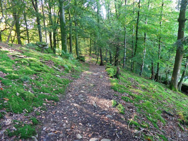
Soon enough, I turned off onto some pasture land:

I mooched along, enjoying the sunshine. There were already some squishy bits so I needed to be a bit careful where I stepped as the mud round here is very clay/chalk and slippery.
Eventually I popped out onto the old railway line and headed into Market Weighton:


Heading out of Market Weighton and onto the Londesborough track:

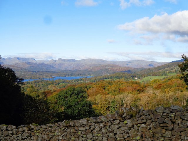
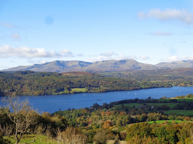
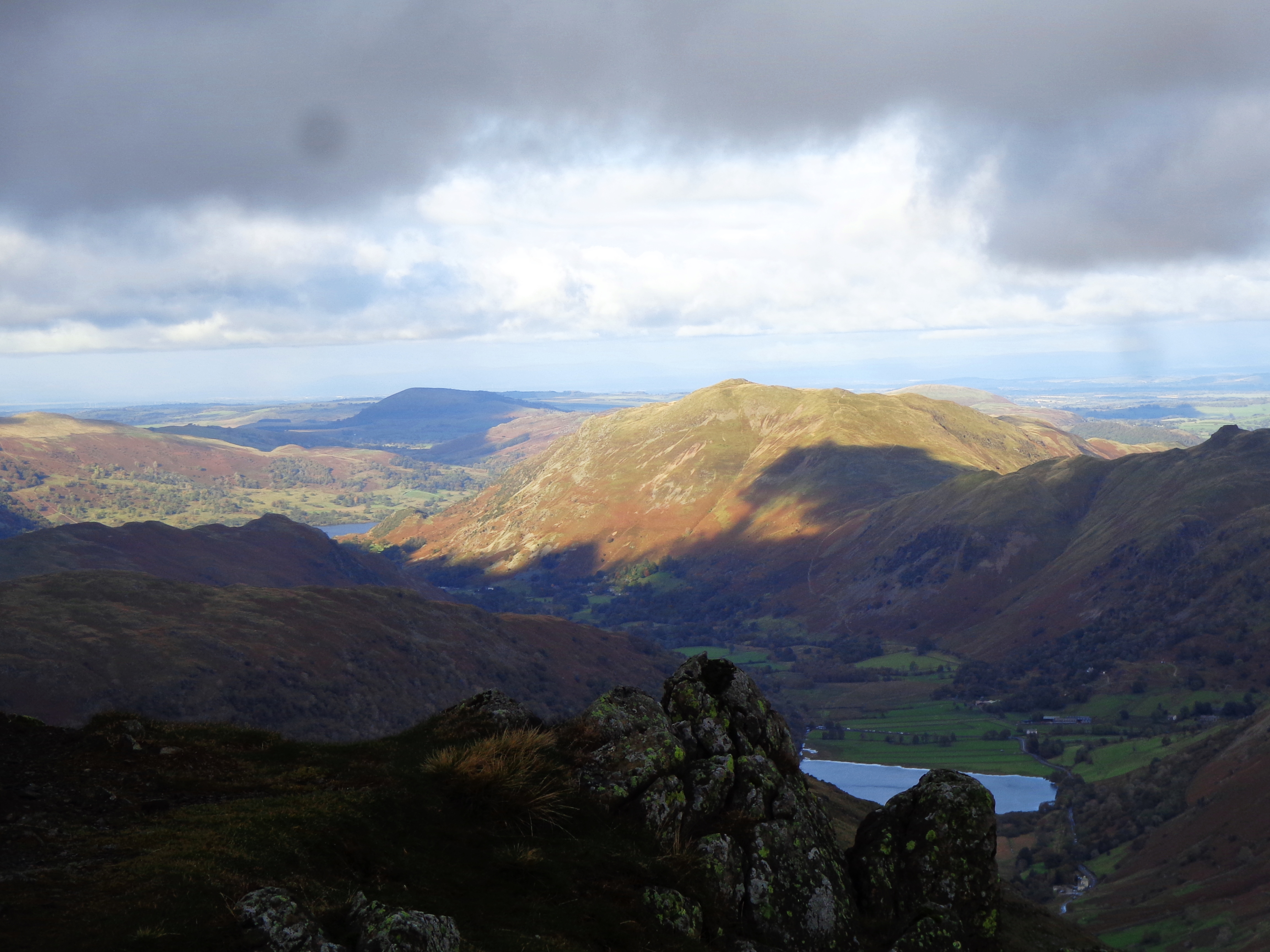
The 2 miles to Londesborough gave me views like this:

...as they followed the field edges to the A614 road.

More easy walking on a lovely autumnal day.

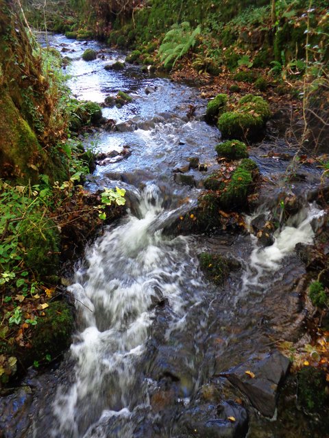
Towthorpe Beck, beautifully clear water.

A giant nest of cows. Splendid. I stood for a good while observing them. This was a cow nursery. Some heavily pregnant and some mums and babies. And, of course, they have to be right on the path! I mean, why wouldn't you lay on a path when there's acres of undisturbed pasture to roam around? To be honest, they weren't fussed about people and with this being on the Yorkshire Wolds Way, I couldn't imagine that frisky "teenagers" would ever be planted here.


After a short game of frogger, I entered the Towthorpe Grange estate:

Followed by a few more field edges that looked like this:

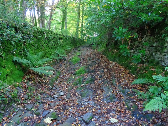
This part of the walk was by far the squishiest bit so far.

I joined the Intack Hill road for about 5 paces and remembered I was in chalk stream country:

So far, the walk had been along arable field edges. This was about to change:

I stood long enough to hear some people coming up behind me so I thought I'd better move on (rather apprehensively!). They caught me up and started chatting to me, sweeping me along in their group. They had two dogs with them (on leads) and I can happily say that the cows didn't bat an eyelid, they cared not one jot, not even the ones laid down next to the path. For sure, they had a good look at us but I think they were too heavily pregnant to care!
Safely through the "danger zone", I thanked the group for escorting me through as they continued at a faster pace than me.
So far, I'd been thinking that for a "Wolds walk" this was flat. This was also about to change as I headed through the parkland, and spotted another crop of cows on the hillside I would be heading up.
The people who kindly escorted me through the last field, waited for me at a gate and asked if I'd like to walk with them through the next field. Absolutely!

Once again, the cows were completely disinterested and once again I thanked the group for their kindness.
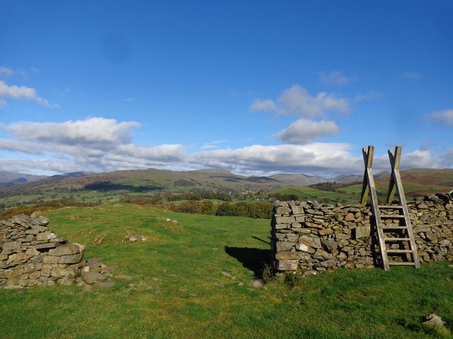
The view from the top of the field was wonderful:

After crossing Towthorpe Lane (quite a busy main road by all accounts!) I came across a small picnic area so decided to stop and have my snacks:

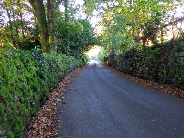
Some more leafy lane walking:

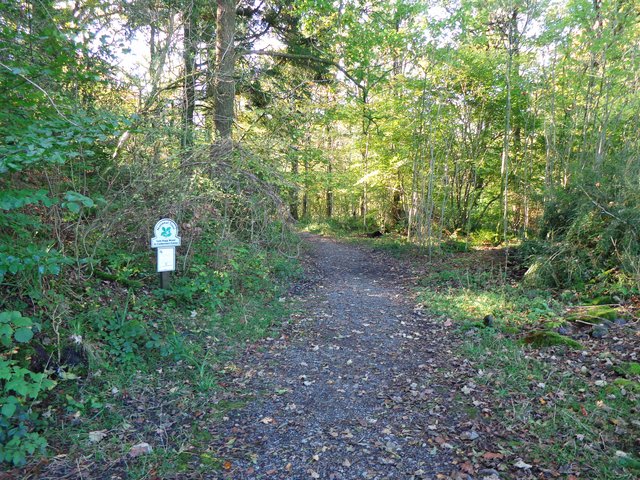
Passing under the old railway line this time:

... then a bit more field edge walking before the second steep bit of the day and an uphill finish as I returned to Goodmanham. I really was impressed that I didn't need to stop and I wasn't really out of breath either.

The Church at Goodmanham:

What a lovely autumnal walk. Glorious sunshine and warm too.
I'll probably do this walk again.
Thanks for reading 😊